Geography and Natural Resources Pub Date : 2023-12-21 , DOI: 10.1134/s1875372823030046 O. P. Yermolaev , S. S. Mukharamova , K. A. Maltsev , M. A. Ivanov , A. M. Gafurov , A. A. Saveliev , E. A. Shynbergenov , P. O. Ermolaeva , A. O. Bodrova , R. O. Yantsitov
|
Abstract
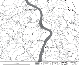
For the first time, an electronic vector map of small river basins and their interfluves with a regional level of spatial detail (1 : 1 000 000) has been created using GIS technology for the territory of mainland Russia with a total area of almost 17 million km2. The GMTED2010 global model is used as a digital elevation model. The total number of basin geosystems is 388 627 and their area averages 47.8 km2. The selected basin geosystems are used as operational–territorial units, in relation to which the geodatabase was created, characterizing the natural resource potential and geoecology of Russia. The open access River Basins of European Russia geoportal was created for a large part of the country, where all information thus obtained is posted. The article provides examples of solutions based on the previously formed GIS and the basin approach. A digital mosaic of small river basins makes it possible to “collect” territories of different scales (from local to transregional) and different taxonomies (from catchments of large rivers to federal districts of Russia) for geographical analysis. Such examples are given with the creation of specialized GIS for the great rivers of Siberia: the Ob and Lena, and a number of federal districts: the Volga and Siberian districts. Based on the map thus created of basins and GIS, a number of major geographical and geoecological problems are solved: the evaluation of current intensity of soil erosion, density of gully erosion, modeling of river runoff and anthropogenic impact on basin geosystems.
中文翻译:
流域镶嵌中的俄罗斯地理与地球生态
摘要
首次使用 GIS 技术为总面积近 1,700 万平方公里的俄罗斯大陆领土创建了小河流流域及其交汇处的区域空间细节水平 (1: 1 000 000) 电子矢量图公里2 . GMTED2010全球模型用作数字高程模型。盆地地质系统总数388 627个,平均面积47.8 km 2。选定的盆地地理系统被用作业务-领土单元,与之相关的地理数据库被创建,描述了俄罗斯的自然资源潜力和地质生态。俄罗斯欧洲部分的开放访问河流流域地理门户是为该国大部分地区创建的,由此获得的所有信息都发布在其中。本文提供了基于先前形成的 GIS 和流域方法的解决方案示例。小河流流域的数字镶嵌使得“收集”不同规模(从本地到跨区域)和不同分类(从大河流流域到俄罗斯联邦区)的领土进行地理分析成为可能。此类例子包括为西伯利亚大河(鄂毕河和勒拿河)以及一些联邦区(伏尔加河区和西伯利亚区)创建专门的 GIS。基于如此创建的流域地图和GIS,解决了许多重大地理和地质生态问题:评估当前土壤侵蚀强度、沟渠侵蚀密度、河流径流建模以及人为对流域地质系统的影响。


 京公网安备 11010802027423号