Applied Water Science ( IF 5.5 ) Pub Date : 2024-03-14 , DOI: 10.1007/s13201-024-02124-3 Dipesh Roy , Sanjoy Barman , Goutam Mandal , Rajib Mitra , Amit Sarkar , Golap Hossain , Puja Roy , Hussein Almohamad , Hazem Ghassan Abdo , Deepak Kumar Mandal
|
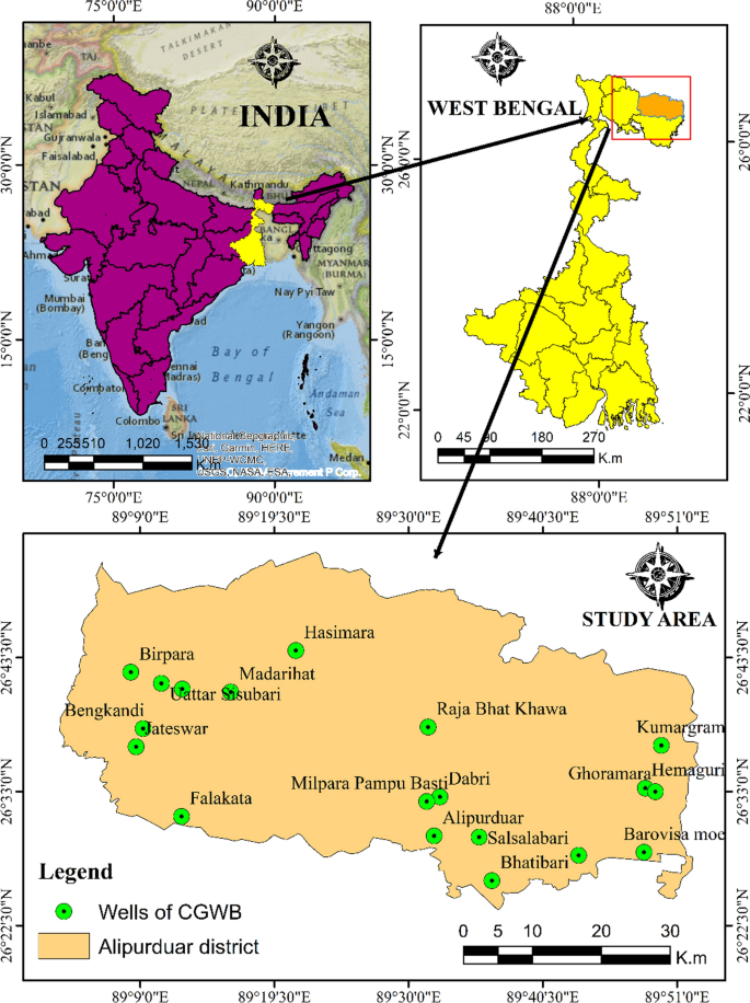
Groundwater is one of the fundamental sources of fresh water. Currently, the unequal distribution of groundwater poses a significant environmental crisis, leading to scarcity in certain regions and affecting the livelihood of living organisms worldwide. The present study introduces the Sub-Himalayan foothills Dooars, a highly populated and agriculturally based area. To delineate the groundwater potentiality eight different effective parameters have been employed such as slope, geomorphology, soil, LULC, lineament, rainfall, hydrogeology, and drainage density. For the process and development of these eight thematic layers, geographic information systems and satellite images (Landsat 8) have been used to give the normalized weight and rank value in each thematic layer and their sub-criteria. MCDA-AHP-based model is used for overlay analysis to delineate groundwater potentiality (GWPZ). After overlay analysis in ArcGIS 10.2.2 final groundwater potentiality map is further grouped into four potentiality zones, i.e., very high, high, moderate, and low potential zones. A very high potential zone encompasses 22.45 sq. km. in the southern portion of the selected study region. The high potential zone encompasses 1613.32 sq. km in the southeastern part, the moderate zone is covered by 1063.84 sq.km, and the 71.03 sq.km (2.56% area of the region) area is covered by the low potential zone. The available well data from CGWB have been utilized to assess the potential of groundwater in the district, ensuring originality and authentic validation. It is found that there is a correlation between the observed potentiality zone and existing well data. With the growing population in the Sub-Himalayan Dooars region, there has been a corresponding rise in the demand for water. Hence, this research would assist the authorities and policymakers in effectively managing the groundwater resources in the district.
中文翻译:
使用遥感数据、地理信息系统和多标准决策方法提取印度西孟加拉邦喜马拉雅山以下地区的潜在地下水潜力区
地下水是淡水的基本来源之一。目前,地下水分布不均造成了严重的环境危机,导致某些地区水资源短缺,并影响了全世界生物体的生计。本研究介绍了喜马拉雅山麓杜阿尔斯 (Doarrs),这是一个人口稠密、以农业为主的地区。为了描述地下水潜力,采用了八种不同的有效参数,例如坡度、地貌、土壤、土地利用和覆盖率、地形、降雨量、水文地质和排水密度。在这八个专题层的处理和开发中,地理信息系统和卫星图像(Landsat 8)被用来给出每个专题层及其子标准的归一化权重和排名值。基于 MCDA-AHP 的模型用于叠加分析来描绘地下水潜力 (GWPZ)。经过ArcGIS 10.2.2的叠加分析,最终地下水潜力图进一步分为四个潜力区,即极高、高、中、低潜力区。潜力巨大的区域面积达 22.45 平方公里。位于所选研究区域的南部。东南部高潜力区面积1613.32平方公里,中潜力区面积1063.84平方公里,低潜力区面积71.03平方公里(占全区面积的2.56%)。CGWB 提供的井数据已用于评估该地区地下水的潜力,确保原创性和真实性。发现观测潜力区与现有井数据之间存在相关性。随着喜马拉雅山以下地区的人口不断增长,对水的需求也相应增加。因此,这项研究将有助于当局和政策制定者有效管理该地区的地下水资源。


 京公网安备 11010802027423号