International Journal of Disaster Risk Science ( IF 4 ) Pub Date : 2023-06-26 , DOI: 10.1007/s13753-023-00498-7 Juncai Jiang , Fei Wang , Yizhao Wang , Wenyu Jiang , Yuming Qiao , Wenfeng Bai , Xinxin Zheng
|
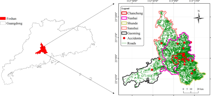
In contemporary cities, road collapse is one of the most common disasters. This study proposed a framework for assessing the risk of urban road collapse. The framework first established a risk indicator system that combined environmental and anthropogenic factors, such as soil type, pipeline, and construction, as well as other indicators. Second, an oversampling technique was used to create the dataset. The framework then constructed and trained a convolutional neural network (CNN)-based model for risk assessment. The experimental results show that the CNN model (accuracy: 0.97, average recall: 0.91) outperformed other models. The indicator contribution analysis revealed that the distance between the road and the construction site (contribution: 0.132) and the size of the construction (contribution: 0.144) are the most significant factors contributing to road collapse. According to the natural breaks, a road collapse risk map of Foshan City, Guangdong Province, was created, and the risk level was divided into five categories. Nearly 3% of the roads in the study area are at very high risk, and 6% are at high risk levels, with the high risk roads concentrated in the east and southeast. The risk map produced by this study can be utilized by local authorities and policymakers to help maintain road safety.
中文翻译:
基于卷积神经网络的城市道路风险评估框架
在当代城市中,道路塌方是最常见的灾害之一。本研究提出了评估城市道路塌方风险的框架。该框架首先建立了结合环境和人为因素的风险指标体系,如土壤类型、管道和施工等指标。其次,使用过采样技术来创建数据集。然后,该框架构建并训练了基于卷积神经网络 (CNN) 的风险评估模型。实验结果表明CNN模型(准确率:0.97,平均召回率:0.91)优于其他模型。指标贡献度分析显示,道路距施工场地距离(贡献度:0.132)和施工规模(贡献度:0.132)。144)是导致道路塌方的最重要因素。根据自然断口,绘制了广东省佛山市道路塌方风险图,并将风险等级分为五类。研究区近3%的道路处于极高风险,6%的道路处于高风险级别,高风险道路集中在东部和东南部。地方当局和政策制定者可以利用这项研究生成的风险地图来帮助维护道路安全。


 京公网安备 11010802027423号